As severe weather patterns continue to unfold, storm chasers are gearing up for one of the most significant tornado threats of the season. According to the latest predictions from NOAA (National Oceanic and Atmospheric Administration), the Midwest and Great Plains are bracing for an intense storm system that could produce long-track tornadoes, large hail, and damaging winds over the coming hours. The storm system is expected to develop in the central United States, moving across several states with a high likelihood of severe weather.
### **NOAA’s Prediction of Tornado Threat**
NOAA’s Storm Prediction Center (SPC) has issued a *High Risk* alert for several regions, indicating the possibility of long-lived, strong tornadoes that could be life-threatening. Areas from Kansas, Missouri, and Oklahoma are at the highest risk, with conditions ripe for supercell thunderstorms, the type most commonly associated with tornado formation.
The atmosphere is primed for storm development, with warm, moist air from the Gulf of Mexico colliding with cooler, dry air from the Rockies. This collision creates instability, making it ideal for the formation of powerful thunderstorms. The upper atmosphere is also conducive to rotating supercells, which are the primary producers of violent tornadoes. Winds at different altitudes are expected to shear in a way that could contribute to the formation of intense rotation, raising the concern for multiple, strong tornadoes.
### **Tornado Chasing: Live Action**
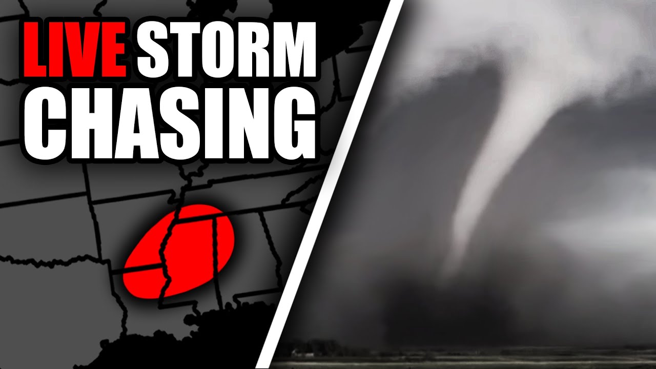
For the storm chasers heading into these dangerous conditions, the stakes couldn’t be higher. With the live tracking of the storms, experienced storm chasers are on the move to capture the phenomena in real-time while providing valuable information to weather experts, media, and the public.
Storm chasing is a thrilling yet perilous endeavor. The power of a tornado is immense, and chasing these storms involves a calculated mix of speed, skill, and knowledge of meteorological data. Advanced radar systems, GPS trackers, and weather sensors are critical to safely navigating the tornado zone. Chasers often stay in constant communication with meteorologists to ensure they are on the correct path and are aware of sudden changes in storm behavior.
The data collected by storm chasers is crucial for improving predictions and understanding tornado formation. Their live updates give the public a clearer sense of the path and severity of the storms. As storm chasers move closer to the tornadic activity, they use their observations to provide real-time warnings to residents in the storm’s path. This has saved lives in the past, as timely information can lead to earlier evacuations and preparedness.
### **Precautions for the Public**
As the tornado threat looms large, it’s important for those in the affected areas to heed all warnings issued by local authorities and the National Weather Service (NWS). Tornado watches and warnings will be issued throughout the day, and they should be taken seriously. A watch means that conditions are favorable for tornadoes to form, while a warning means that a tornado has been spotted or detected by radar.
Residents should have a plan in place, with a safe room or basement as the primary shelter location. Keep a battery-powered weather radio or a phone with weather alerts to receive the latest updates. If a tornado warning is issued, take cover immediately in a small, windowless interior room on the lowest level of your home.
### **Looking Ahead**
As the storm system moves eastward, the risk of severe weather will gradually shift, affecting regions across the Mississippi Valley and into the Ohio River Valley. The tornado threat could extend into the evening and overnight hours, making it even more critical for people to stay informed and vigilant.
With storm chasers out in full force and NOAA’s experts monitoring the situation closely, it’s clear that the tornado threat is far from over. This is an active and evolving situation, and the public’s awareness and preparedness will be key to minimizing the impact of these violent storms. Stay tuned for continuous updates as this severe weather event unfolds.

Be the first to comment